Are you looking for a trusted land surveyor to survey your residential or commercial property? Look no further than Padula Engineering. As the leading civil engineering and land surveying firm in Chester County, we have the proven expertise and extensive experience to provide our clients with professional land surveying services that are custom-tailored to meet their needs.
Whether you are a homeowner who needs a simple boundary survey to confirm their property’s boundary lines or a land developer who needs a highly detailed topographic survey to help make sure their new construction project goes smoothly, you can trust Padula Engineering’s professional land surveyors to get the job done right.

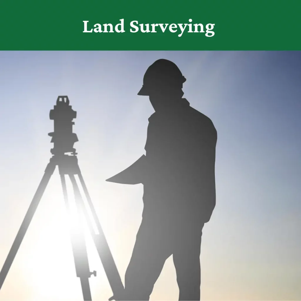
What Is a Land Survey and Why Should You Get One?
A land survey is a legal document that provides essential information about the legal boundaries and limitations of a property. However, not all surveys are the same, and some contain much more information than others.
There are plenty of reasons why you might need to get your property surveyed, but these often vary drastically depending on the type of property you have and what your intentions with it are. For example, residential property owners usually have much different reasons for needing a land survey than commercial owners.
One of the most common reasons homeowners need to get their property surveyed is that they need to meet the requirements for applying for a mortgage. However, they may also need to confirm the boundary lines of their property to settle property line disputes or check the legal limitations of what they are allowed to build on their property.
Commercial property owners, on the other hand, tend to need land surveys to obtain title insurance or to get important information about their land for land development and construction purposes.
Still, there are plenty of other reasons why you might need to get your land surveyed, and no matter what they are, there is one thing that is certain. Having a detailed and accurate survey of your land can help you better manage your property, avoid unpleasant surprises, and plan for the future.
Comprehensive Land Surveying Services From The Most Trusted Civil Engineers in Chester County
Padula Engineering offers a full range of land surveying services that can help residential and commercial clients alike achieve their goals. From simple boundary surveys to highly advanced topographic mapping and more, we employ our unique perspective and technical expertise as professional engineers to provide innovative surveying solutions that ensure our clients get exactly what they need.
Boundary Surveys
Boundary surveys are essential for property owners who need to confirm the boundaries of their property, and our licensed professionals can easily determine the property lines of your house or commercial property and provide a detailed and accurate property survey that gives you everything you need to settle disputes and start home improvement projects with confidence.
ALTA/ACSM Land Title Surveys
We also offer ALTA/ACSM land title surveys for commercial clients seeking title insurance. Our team of highly trained engineers and surveyors has been working within the guidelines set forth by ALTA/ACSM for decades and is well-equipped to provide land title surveys that are in accordance with all of these applicable rules and regulations.
Topographic Surveys and Mapping
Simple property surveys are one thing, but when it comes to land development and new construction projects, developers need all the information that they can get. We have extensive land development experience and specialize in providing advanced topographic mapping and construction surveys that provide all the information a project manager needs to keep a construction project going smoothly.
We employ our extensive surveying experience and the latest technology like LiDAR, GPS receivers, electronic distance measuring devices, and more to create incredibly accurate and detailed survey maps that include invaluable information about changes in elevations and the heights and locations of both natural and man-made structures and landmarks.
No matter if you are a commercial property owner, land developer, or site contractor, Padula Engineering’s topographic mapping and surveying services can help you better understand every detail of the land and help you avoid costly mistakes or surprises along the way.
Easement Research and Title Report Reviews
Our surveyors are also expert researchers and can meticulously review local government documents, historical records, title reports, and maps to ensure that boundaries have remained consistent over the years and that there are not any easements associated with your property.
Flood Elevation Certificates
Flooding can cause costly damage to your property, and understanding a property’s flood risk is essential if you want to be able to plan properly to mitigate that risk. We offer flood elevation certificates that can help landowners obtain the proper insurance and better understand and plan for potential flooding in the future.
Custom Surveying Services
Every client is different, and we want to make sure that we are able to address every single one of your specific surveying needs. We will spend the time to get to know you, your property, and your project’s needs and create a fine-tuned surveying solution that exceeds your expectations every time.
No matter what type of property you have or what project you have planned, we can ensure that you have the survey information that you need to ensure that it goes smoothly.
Contact Padula Engineering and Get the Best Land Surveyor Downingtown Has to Offer
Are you a residential or commercial property owner who needs the help of a professional land surveyor? Give us a call or come visit our office in nearby West Chester, PA. We are always happy to answer any questions you might have and are happy to offer every potential new client a free estimate so you know exactly what our services will cost.
Serving everywhere from Downingtown and Chester Springs to Lower Merion and anywhere else in the Chester County area, you do not have to settle for anything less than the best. Call Padula Engineering and take the first step towards getting your land surveyed today.