Determining property boundaries in Chadds Ford requires you to compare recorded property information with physical evidence on the site.
Deeds, previous surveys, county parcel maps, recorded plans, boundary markers, fences, and other visible lot features can show a property’s general shape and layout. Still, they may not provide the accuracy needed for construction, permitting, buying, selling, or resolving a boundary question.
This guide explains how to approach property boundaries in Chadds Ford, what you can review on your own, where common methods have limits, and when a professional land surveyor should establish the boundary.
What Property Records Can Help You Find Your Boundaries?
Property records provide the recorded basis for understanding how a parcel was described, divided, and transferred. Your deed, previous surveys, plats, and county records can each provide part of the picture, but when the exact location of a boundary matters, you need to consider that information alongside physical evidence.
Review Your Deed
Your deed contains the legal description of the property. Depending on the parcel’s age, the description may identify bearings, distances, roads, adjoining properties, monuments, or other reference points used to define the boundary.
Older deed descriptions may rely on bearings, distances, adjoining ownership, roads, or monuments that are no longer easy to identify in the field. A deed may also refer to markers that have been moved, damaged, or lost over time.
Look for a Previous Survey, Plat, or Recorded Plan
A previous survey, subdivision plat, or recorded plan may show dimensions, property corners, easements, streets, adjoining lots, and other features that are difficult to interpret from the deed alone.
A prior survey may provide valuable evidence about previously located corners and measured boundary lines, but it does not mean every marker is still visible or undisturbed. New fieldwork may be required when the exact line matters for a current project.
Check County Parcel Records
County parcel and assessment records can show the parcel’s approximate shape, tax identification, relationship to adjoining properties, and recorded road locations.
These records are useful for preliminary property research, but they are not a substitute for a boundary survey when you need precise measurements.
Can Online Parcel Maps Show Your Exact Property Boundary?
No. Online GIS and tax parcel maps can show a property’s approximate location, shape, and relationship to neighboring parcels, but they are not intended to establish exact legal boundaries.
A parcel line displayed over an aerial image may appear to follow a fence, driveway, building, or tree line. Mapping layers and aerial imagery can differ in position, so the displayed line may not match the surveyed boundary on the ground.
Parcel maps help you locate a parcel and understand its general relationship to nearby lots, roads, and structures. When a project depends on precise property boundaries in Chadds Ford, you need surveyed boundary information.
What Physical Clues Can Help You Locate Property Lines?
After reviewing the available records and parcel maps, you can compare them with physical features found on the property. Existing monuments, fence lines, walls, and other site features can show how the documented parcel relates to what you see on the ground, but treat them as supporting evidence rather than proof of a legal boundary.
Look for Boundary Markers
Property corners may be marked with iron pins, pipes, rebar, concrete monuments, stones, or other objects. A survey or recorded plan may identify the type of monument originally placed at a corner.
Finding a marker does not mean you have found the correct property corner. Pins and other monuments may have been disturbed, replaced, or misidentified, so you need to evaluate their position against recorded boundary evidence.
Check Fences and Other Lot Features
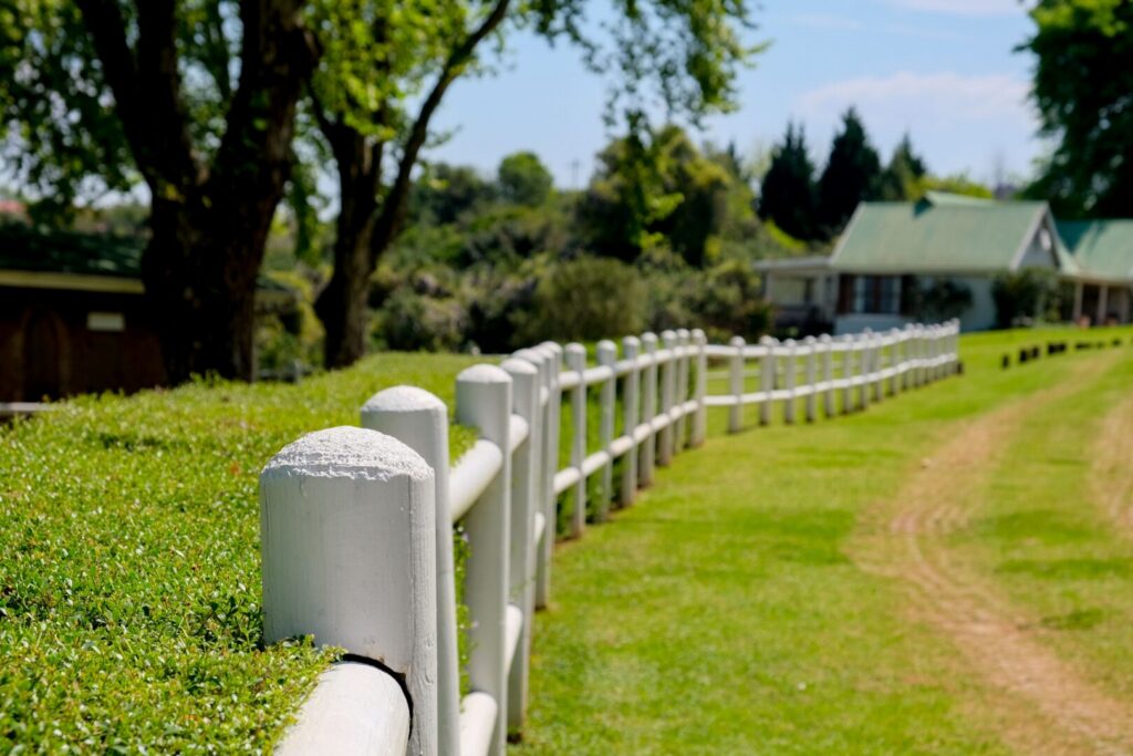
Fences, hedges, tree lines, retaining walls, and driveways can appear to follow a property line, but they may have been placed inside or across the actual boundary. Their age, purpose, and original placement may also be difficult to determine.
When you need to rely on a line for planning or construction, professional land surveying in Chadds Ford, PA can compare field evidence with recorded property information and measured boundary data.
When Is a Property Survey Necessary?
You need reliable surveyed boundary information when a property line affects where you can build, place improvements, divide land, or complete a property transaction. This commonly applies when planning an addition, fence, driveway, accessory structure, subdivision, purchase, sale, or larger site improvement.
Professional surveying becomes especially important when boundary monuments are missing, deed descriptions are unclear, or neighboring property owners disagree about a line’s location.
Padula Engineering provides civil engineering, land surveying, and land development services for property projects, allowing surveyed boundary information to be incorporated into later planning and design work.
How Does a Professional Boundary Survey Establish the Property Line?
A boundary surveyor does not rely on one map, deed, or marker. The surveyor determines the boundary by comparing recorded documents with field measurements and physical evidence.
The process generally includes reviewing the deed, recorded plans, previous surveys, monument descriptions, and relevant adjoining parcel information. The surveyor then locates existing monuments and measures features across the property.
The surveyor compares field measurements with the bearings, distances, monuments, and other calls shown in the property records. After evaluating the available evidence, the surveyor can establish the boundary and, depending on the scope of work, mark property corners or prepare a survey plan documenting the results.
What If Property Records and Physical Markers Do Not Match?
When a deed, recorded plan, and physical monument appear to point to different locations, the surveyor must determine how those pieces of evidence relate to one another. A measurement difference does not automatically mean you should ignore one source.
The surveyor may need to trace adjoining deeds, review subdivision history, compare monument evidence, and reconcile older measurements before determining the boundary.
If the matter involves ownership rights, title questions, or an active legal dispute, an attorney may also need to review the issue. Avoid moving monuments or placing improvements near a disputed line until you’ve properly evaluated the boundary.
Get Reliable Property Boundary Information in Chadds Ford
If a property boundary will affect construction, permitting, a property transaction, subdivision, or a disagreement with a neighboring owner, approximate maps and visible lot features are not enough. A professional survey provides measured boundary information based on recorded documents and evidence found on the property.
Padula Engineering provides land surveying, civil engineering, and land development support throughout PA, NJ, and DE. If you need accurate information about your property lines, contact Padula Engineering for a property boundary survey in Chadds Ford, PA, to discuss the property and the surveying work required.