Finding property boundaries in Exton often starts with the documents and clues already available, such as deeds, older surveys, county maps, parcel records, fences, markers, and visible lot features. These can help you understand the general layout of a property, but they may not provide the accuracy needed for building, permitting, buying, selling, or resolving a boundary dispute.
This guide walks through the practical ways to approach property boundaries that Exton property owners and buyers often need to confirm. It explains what you can check on your own, where those methods can fall short, and when a professional land surveyor should step in to provide reliable boundary information.
What Is the Best Way to Find Property Boundaries?
The best way to find property boundaries is to hire a professional land surveyor. A surveyor can review property records, measure the land, locate boundary evidence, and prepare survey information that reflects the legal limits of the parcel.
This matters because property lines are not always where they appear to be. A fence may sit inside the actual boundary. A tree line may follow landscaping rather than the recorded property line. A driveway edge may show how the land has been used, not where ownership changes.
For projects in Exton, professional survey support is especially useful when a decision depends on accuracy. Padula Engineering provides professional land surveying services in Exton, PA for accurate property boundary information.
What Can You Check Before Calling a Surveyor?
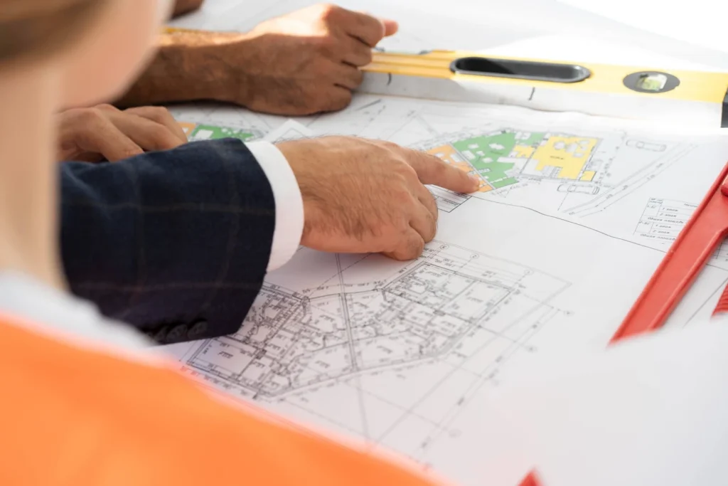
You can begin by reviewing the property records you already have. A deed, closing documents, prior survey, subdivision plan, or county parcel record may provide a general idea of the lot shape and boundary dimensions.
These records can be helpful, but they may be hard to interpret without survey experience. Deed descriptions can include technical language, older measurements, and references to markers that are no longer easy to find. County maps can also show approximate parcel lines, but they are not meant to replace a professional survey.
This first step is still useful because it helps you gather background information. If you later contact a surveyor, these documents can help explain the property history, the concern you are facing, and the type of boundary information you need.
Why Are Online Maps Not Enough?
Online maps can help you understand the general layout of a property, but they should not be used as final proof of a boundary. Parcel lines shown online may not be accurate enough for construction, fencing, permitting, or legal decisions.
This is a common source of confusion for property owners. A map may make the line look clear on a screen, but the land itself may include slopes, walls, wooded edges, drainage areas, utilities, easements, old improvements, or missing markers. These details can affect how the boundary should be understood.
Use online tools as a starting point only. If your next step involves money, construction, a property sale, a purchase, or a neighbor concern, a professional survey is the safer choice.
Can Visible Markers Show the True Property Line?
Visible markers can help, but they can also lead to mistakes. Stakes, pins, monuments, fences, walls, hedges, and rows of trees may appear to mark the property line, but not every visible feature represents the legal boundary.
Some markers may be old, damaged, buried, moved, or unrelated to the corner you are trying to confirm. Some fences are installed slightly inside a property line to avoid conflict. Some landscaping features grow over time and create the impression of a boundary where no legal line exists.
This is one reason property boundaries Exton residents rely on should be confirmed by a surveyor when accuracy matters. A professional can compare physical evidence with recorded documents and field measurements instead of relying on appearance alone.
When Does a Boundary Survey Make Sense?
A boundary survey makes sense before any project that depends on the lot’s boundary. This includes fences, garages, additions, pools, decks, patios, driveways, sheds, grading work, and site improvements.
A survey is also helpful before buying or selling a property. Buyers may want to know what land is included before closing. Sellers may want to answer boundary questions before they slow down a transaction. Builders may need accurate survey information before designing, pricing, or laying out work.
Boundary information can also help when there is a concern with a neighbor. Questions about a shared driveway, tree, wall, fence, drainage path, or access area are easier to discuss when everyone has clearer information from a professional survey.
How Can a Survey Help Prevent Costly Problems?
A survey helps prevent costly problems by giving you accurate information before work begins. This can reduce the risk of placing a fence, structure, driveway, or improvement too close to a property line.
Without clear boundary information, a project may need to be changed after design work has already started. In more difficult cases, completed work may need to be corrected, moved, or reviewed because it was built in the wrong place. That can create added cost, delays, permit issues, title concerns, and unnecessary stress.
A boundary survey gives property owners, buyers, builders, and design professionals a clearer starting point. It helps turn uncertainty into practical information that can guide the next decision.
How Does Boundary Information Support Larger Projects?
Boundary information often affects more than the property line itself. It can shape where a building can go, how a driveway is planned, where grading may occur, and how a site plan is prepared for review.
For builders and developers, survey information may connect with civil engineering, construction layout, stormwater planning, and land development requirements. For residential property owners, it may help a contractor, architect, or engineer understand the site before design or permitting begins.
Padula Engineering offers civil engineering and land surveying services for residential and commercial land development projects. This combination is helpful when a boundary question is part of a larger property plan.
Get Help Finding Property Boundaries in Exton With Padula Engineering
Padula Engineering helps property owners, buyers, builders, and developers obtain clear survey information before making important property decisions. If you need help finding property boundaries in Exton, their local team can review your needs and provide professional guidance based on your property and project goals.
Their surveying support can help with boundary questions, property planning, construction preparation, land development, and related civil engineering needs. This is valuable when a simple property line question connects to permitting, site design, drainage, access, or future improvements.
For accurate help with property boundaries in Exton, contact Padula Engineering to discuss professional property boundary surveying. Clear boundary information can help you plan carefully, avoid preventable issues, and move forward with the right local experts.