Land surveys play a key role in defining property boundaries, guiding construction, and preventing costly disputes. Many property owners and developers know they need a survey, but they’re often unsure which one fits their situation. The different types of land surveys serve specific purposes, and choosing the right one can save time and avoid problems later.
Each project comes with its own requirements, from buying land to planning new construction. Understanding land survey types helps you make better decisions before work begins. Below, we break down the most common survey types and help you determine which one fits your project.
What Are Land Surveys and Why Do They Matter?
Before looking at specific survey types, it helps to understand their purpose. A land survey provides accurate measurements of a property and identifies boundaries, structures, and physical features. This information supports planning, design, and legal documentation.
Survey data helps prevent disputes between property owners and confirms that construction projects follow local regulations and zoning requirements. Without the right survey, small mistakes can lead to delays, added costs, or legal issues.
What Are the Different Types of Land Surveys?
There are several types of land surveys, each designed for a specific purpose. Knowing how they differ makes it easier to match the right survey to your project.
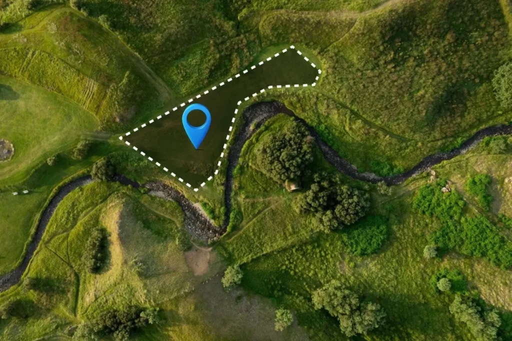
Boundary Survey
A boundary survey defines the exact property lines of a parcel of land. It identifies corners, markers, and any encroachments that may affect ownership. This is one of the most requested surveys for both residential and commercial properties.
Property owners often request a boundary survey before buying or selling land. It’s also useful when installing fences, driveways, or additions near property lines. Accurate boundaries help avoid disputes with neighbors before they become larger issues.
Topographic Survey
A topographic survey maps the natural and man-made features of a property, including elevations, slopes, trees, and existing structures. This survey is essential for planning construction or land development projects.
Engineers and architects rely on topographic data to design safe and functional sites. It helps determine grading, overall layout, and how water moves across a property. Without this survey, design plans may not reflect actual site conditions, which can lead to costly changes once work is underway.
ALTA/NSPS Land Title Survey
An ALTA/NSPS survey is a detailed survey often required for commercial real estate transactions. It combines boundary information with improvements, easements, and access points. Lenders and title companies typically request this survey before closing.
This type of survey provides a clear picture of property conditions and potential risks. It helps protect buyers and lenders by identifying issues that could affect ownership. It is one of the most thorough surveys available.
Construction Survey
A construction survey supports the building process by marking the location of planned structures. Surveyors place stakes and reference points to guide contractors during construction, keeping the project aligned with approved plans.
Subdivision Survey
A subdivision survey divides a larger parcel of land into smaller lots. This process is common in residential developments and land planning projects. It includes creating new property lines and preparing legal descriptions.
Local authorities review subdivision surveys to confirm compliance with zoning and planning requirements. This survey is necessary before land can be sold as separate parcels. It plays a key role in moving a development project forward.
Location Survey
A location survey shows the position of structures and improvements relative to property lines. It’s less detailed than a boundary survey but still useful for general property assessments, zoning permits, or basic property evaluations.
It provides a quick overview of how buildings sit on a property and can help identify potential issues without the need for a full boundary analysis. It’s a practical option for less complex situations.
How Do You Choose the Right Type of Land Survey?
Choosing the right survey depends on your project and goals. A clear understanding of what you need helps narrow down the options quickly.
Consider the Purpose of Your Project
Start by identifying what you want to accomplish. Buying property, planning construction, and resolving boundary issues all call for different types of land surveys. Matching the survey to your goal gives you the right information from the start.
Understand Local Requirements
Local regulations often determine which survey is required. Municipalities may request specific surveys for permits, approvals, or land development. Following these requirements helps avoid delays in your project timeline.
Working with experienced professionals confirms that your survey meets local standards. This is especially true for subdivision and construction projects. Proper documentation keeps your project moving in the right direction.
Work With a Professional Surveyor
Surveying requires precision and a solid understanding of local laws. A professional surveyor can recommend the right survey based on your specific project, provide accurate results, and handle proper documentation every step of the way.
Our land surveying services cover a wide range of project types. We bring the experience needed to guide you through the process from start to finish.
What Mistakes Should You Avoid When Choosing a Survey?
Selecting the wrong survey type can lead to unnecessary costs and delays. Knowing what to watch out for helps you move forward with confidence.
One common mistake is assuming all surveys provide the same information. Each survey type serves a specific purpose, and using the wrong one can leave out critical details that affect your planning and legal documentation.
Another issue is skipping a survey altogether to save time or money. This often leads to larger problems during construction or property transfers. Accurate survey data is worth the investment and protects you in the long run.
Why Does Professional Land Surveying Matter?
Accurate surveys support every stage of a project, from initial planning to completion. They provide the data you need to make informed decisions and avoid setbacks.
Experienced surveyors understand how to gather and interpret data correctly and stay current on local regulations and standards. This level of expertise reduces risk and improves outcomes across every project type.
Our team of Chester County surveyors brings local knowledge that adds real value to every project we take on, from boundary work to full land development support.
Ready to Move Your Project Forward?
Understanding the types of land surveys is the first step toward making confident decisions for your project. The right survey, paired with the right team, sets everything else in motion.
At Padula Engineering, we provide accurate and dependable surveying services for a wide range of projects across Pennsylvania, New Jersey, and Delaware. From boundary surveys to construction support, we deliver the data you need to proceed without uncertainty.
Contact us today to discuss your project and find out which survey is the right fit.