
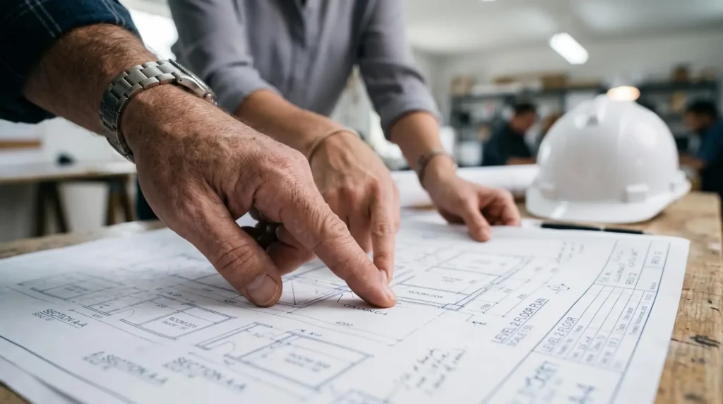
Construction plans show how a project is intended to be built, but finished work does not always match every planned location or elevation exactly. Field changes can affect buildings, utilities, drainage, pavement, grading, and other improvements, so project teams may need accurate records of what was actually constructed.
An as-built survey documents completed site conditions so they can be compared with approved plans and used for project closeout, approvals, future design work, or property records. This guide explains what the survey records, when it may be required, how the process works, and why accurate documentation matters after construction.
What Does an As-Built Survey Show?
An as-built survey records the actual location, dimensions, and elevations of improvements after they have been installed or constructed. Instead of showing proposed conditions, it captures what exists on the site at the time of the survey.
The information can be compared with engineering drawings, site plans, subdivision plans, or permit documents. This helps the project team or reviewing authority confirm whether key improvements were placed in the intended locations and built at the required elevations.
As-built surveying can be used on residential, commercial, municipal, and land development projects. The scope depends on the project, its approval requirements, and which constructed features need to be documented.
What Does an As-Built Survey Document?
The survey records completed features that matter to the project or approval. Depending on the work, this may include building corners, finished floor elevations, curbs, sidewalks, parking areas, retaining walls, stormwater facilities, sewer lines, water lines, and utility structures.
Elevation data can be just as important as horizontal locations. A surveyor may document grades, pipe inverts, drainage structures, basin elevations, or other points that show whether the completed site follows the approved design.
The required information should be established before fieldwork begins. Our land surveying services in West Chester, PA, can support property owners, contractors, developers, and design teams who need accurate information on existing site conditions.
When Is an As-Built Survey Required?
An as-built survey may be required when a municipality, permitting agency, design professional, owner, or other reviewing party needs documentation of completed construction. It is often requested near the end of a project, but some work must be measured before it becomes covered, buried, or difficult to verify.
The timing often depends on the type of construction and the approval process. Knowing when to take measurements helps the surveyor document features before access becomes limited.
Before Final Project Approval
Local reviewing authorities may request completed-condition information before closing out permits or approving a land development project. The survey gives reviewers a record for comparing the finished site with the approved plan.
Requirements vary by municipality and project type. Confirming the required survey scope early can help prevent missing information late in the construction process.
After Site Improvements Are Installed
Surveying may be needed after grading, drainage systems, utilities, roads, curbs, or other improvements are installed. Some underground features need to be measured before backfilling because their exact location and elevation can be difficult to verify later.
Collecting this information at the proper stage can improve final documentation and reduce the need to uncover completed work later.
When Construction Changes From the Approved Plan
Field conditions sometimes require a contractor or design team to adjust an improvement from its planned location or elevation. Updated survey data show what was actually built and provide the engineer with reliable information for reviewing the change.
The survey does not approve a construction change. It provides measured site data that the appropriate professionals or reviewing authorities can use to decide whether revisions, updated plans, or other documentation are needed.
How Is an As-Built Survey Completed?
The process starts with a review of the project plans to identify the features, elevations, and measurements that need to be collected. A survey crew then visits the property and measures the completed improvements using professional surveying equipment and established control points.
After field data is collected, the measurements are processed and shown on a drawing or plan. The document identifies constructed locations and elevations so they can be compared with the approved design.
Because each development has different documentation needs, the scope should align with the project’s purpose. Padula Engineering provides civil engineering and land surveying services for development projects, ensuring survey information fits into the broader planning, design, and construction process.
How Is an As-Built Survey Different From Other Land Surveys?
The main difference is timing and purpose. A boundary survey focuses on property lines and related property information, and a topographic survey records existing ground elevations and physical features that may be used during design.
An as-built survey focuses on construction after it has been installed. It answers a different question: where were the proposed improvements actually built, and at what elevations were they installed?
A project can require more than one type of survey from beginning to end. Boundary and topographic information may support design, construction stakeout may guide field placement, and final surveying may document the completed work.
Why Does Accurate As-Built Survey Information Matter?
Accurate records give you a dependable picture of the site’s current conditions. That information can support permit closeout, engineering review, future renovations, utility work, property records, and later development decisions.
It can also help identify differences between design drawings and field construction before project documentation is finalized. When the measured conditions are clear, engineers, contractors, owners, and reviewing agencies can work from the same site information.
Good records can stay useful years after construction ends. Future teams may rely on the survey to locate utilities, confirm elevations, understand existing improvements, or plan new work.
Choose Padula Engineering for As-Built Surveying
If your project is approaching a construction milestone or final approval, we can help determine what surveying information may be needed based on the project scope and available plans. Starting the conversation before the final stages of construction can make it easier to collect measurements at the right time.
Padula Engineering provides land surveying and civil engineering support for projects in Pennsylvania, New Jersey, and Delaware. If you need completed site conditions documented for a property or development project, contact Padula Engineering about your as-built surveying needs to discuss your project.